Laurel Highlands Hiking Guide: LHHT, Ohiopyle & Mountain Trails
Quick Facts
- Location: Somerset, Fayette, Westmoreland Counties (Southwest PA)
- Terrain: High plateau (Mount Davis) to deep river gorges (Youghiogheny)
- Best Season: Fall (foliage on LHHT, fewer crowds at Ohiopyle)
- Top Draw: Ohiopyle State Park (waterfalls) & LHHT (backpacking)
- Warnings: Venomous snakes are common. The Youghiogheny River is dangerous.
At 3,213 feet, Mount Davis is the highest point in Pennsylvania. But the Laurel Highlands isn’t about one peak - it’s about 70 miles of ridge-walking on the state’s premier backpacking trail, waterfalls carved into the deepest river gorge in PA, and terrain rugged enough that venomous snakes are a legitimate concern. This is where Pennsylvania stops being gentle.
Why Hike the Laurel Highlands?
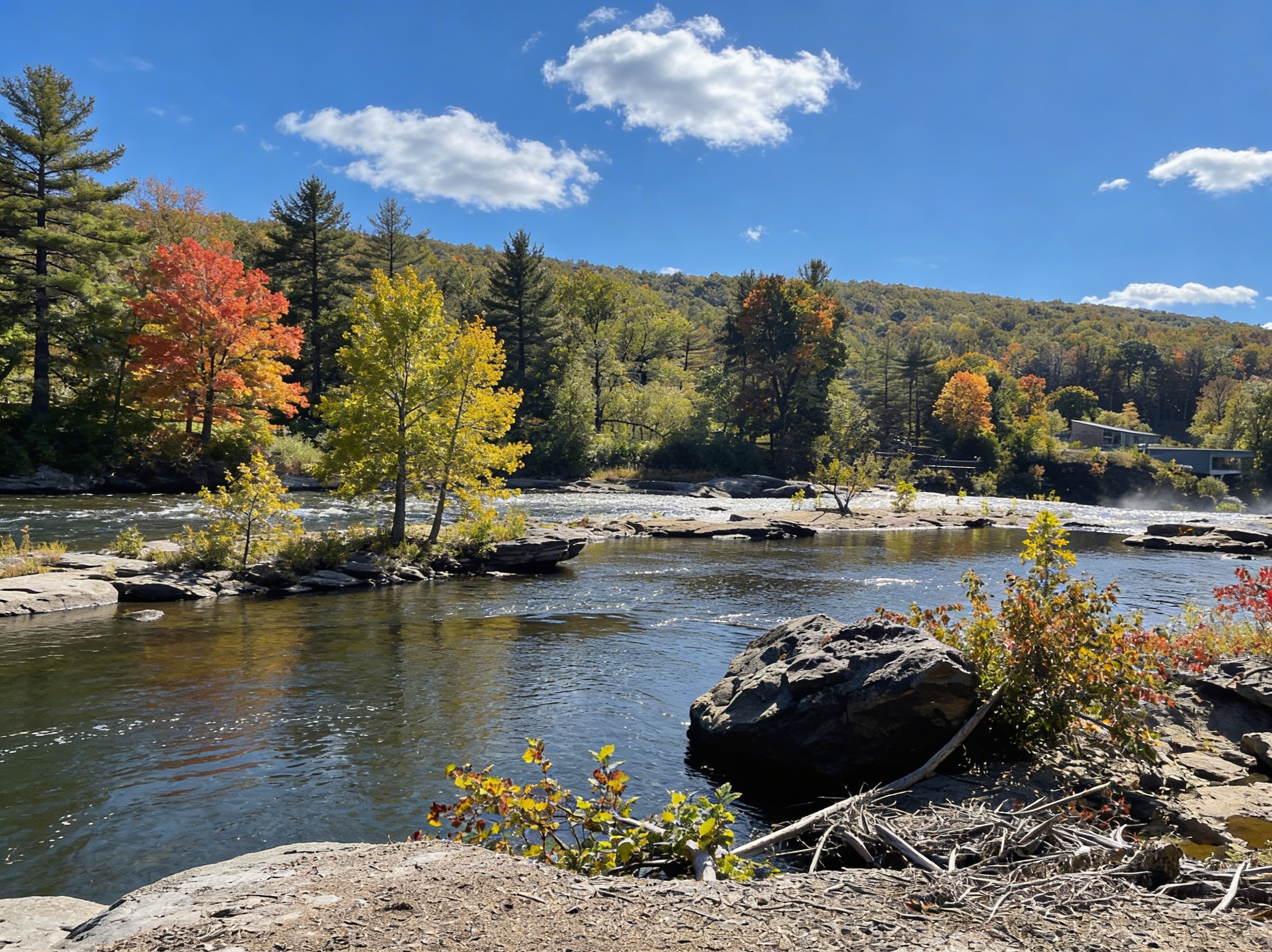
This is the Allegheny Plateau, the highest ground in the state. The Youghiogheny River (“The Yough”) has carved the deepest gorge in Pennsylvania right through the middle of it. Unlike the rolling hills of the Lehigh Valley or the glacial lakes of the Poconos, this is true mountain country. It’s wet, it’s green, it’s steep, and it feels wilder than the rest of the state.
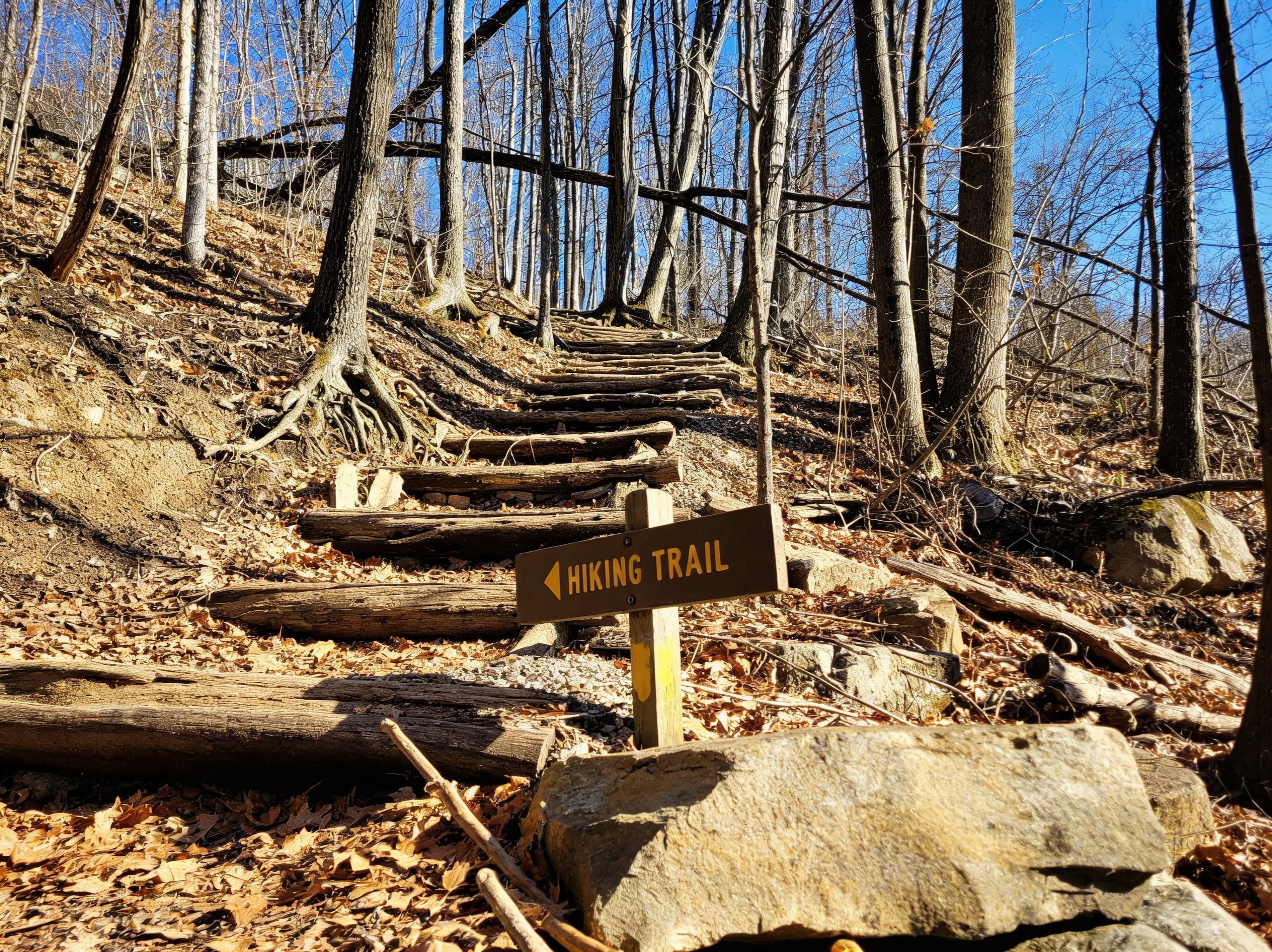
The backbone of the region is the Laurel Highlands Hiking Trail (LHHT). Extending 70 miles from Ohiopyle to Johnstown, it’s the only long-distance trail in PA with a dedicated shelter system. This is the trail that serious backpackers come for.
The Trails: Choose Your Adventure
If You Want Waterfalls: Ohiopyle State Park
Ohiopyle is the center of the action. It’s also the busiest. The park offers over 79 miles of trails, but these are the waterfall highlights:
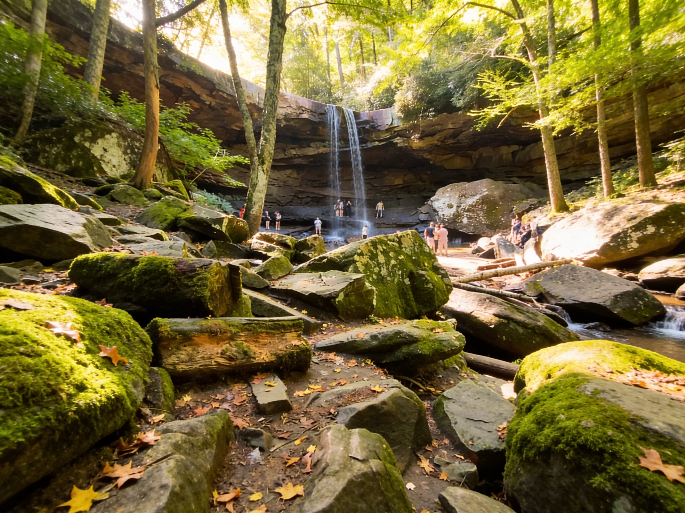
Cucumber Falls Trail (0.5 miles, easy)
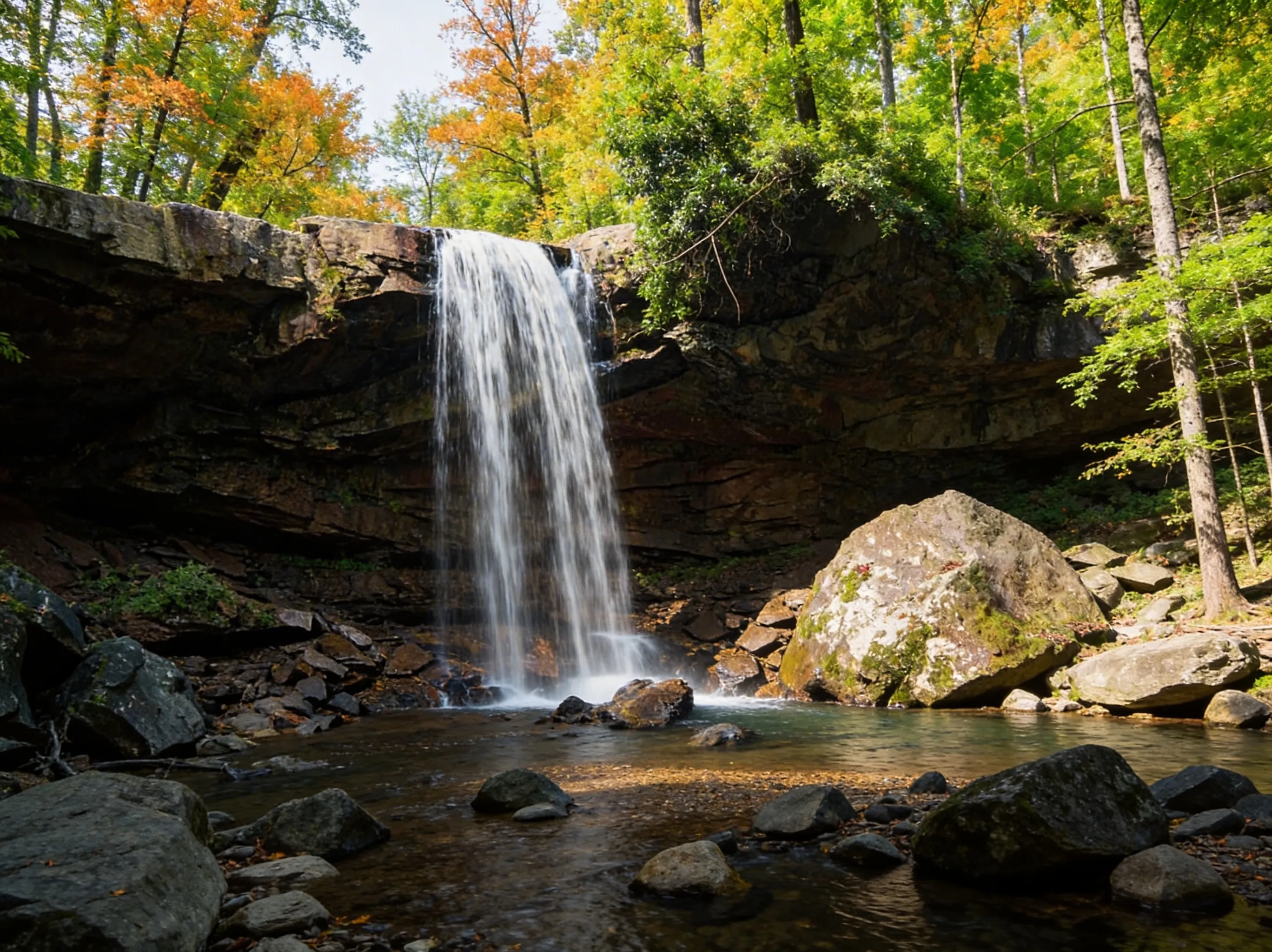
A 30-foot drop that you can walk behind. The most accessible waterfall in the park.
- Distance: 0.5 miles round trip
- Elevation: Minimal (100 ft descent)
- Time: 20-30 minutes
- Difficulty: Easy (paved path to overlook, stairs to base)
- Best Time: Spring for high flow, fall for fewer crowds
- Parking: Cucumber Falls parking area off Dinnerbell Road
Meadow Run Trail (3.5 miles, moderate)
Natural waterslides carved into sandstone. It’s fun, but the rocks are slick and head injuries happen. The trail follows Meadow Run through a series of cascades and slides.
- Distance: 3.5 miles (can be shortened)
- Elevation: 400 ft descent
- Time: 2-3 hours
- Difficulty: Moderate (rocky, stream crossings)
- Best Time: Summer for sliding (water levels permitting)
- Pro Tip: Bring water shoes with good grip. The rocks are extremely slippery.
Jonathan Run Falls Trail (3.2 miles, moderate)
The quiet alternative. You’ll see fewer people and more waterfalls - including Jonathan Run Falls and several smaller cascades.
- Distance: 3.2 miles loop
- Elevation: 600 ft descent
- Time: 2-3 hours
- Difficulty: Moderate (steep sections, stream crossings)
- Highlights: Multiple waterfalls, old-growth hemlock forest
- Best Time: Spring for waterfall flow, fall for solitude
⚠️ Warning: Swimming near Ohiopyle Falls is prohibited. The Youghiogheny River is a powerful Class III-IV whitewater river - people die here every year. Respect the current.
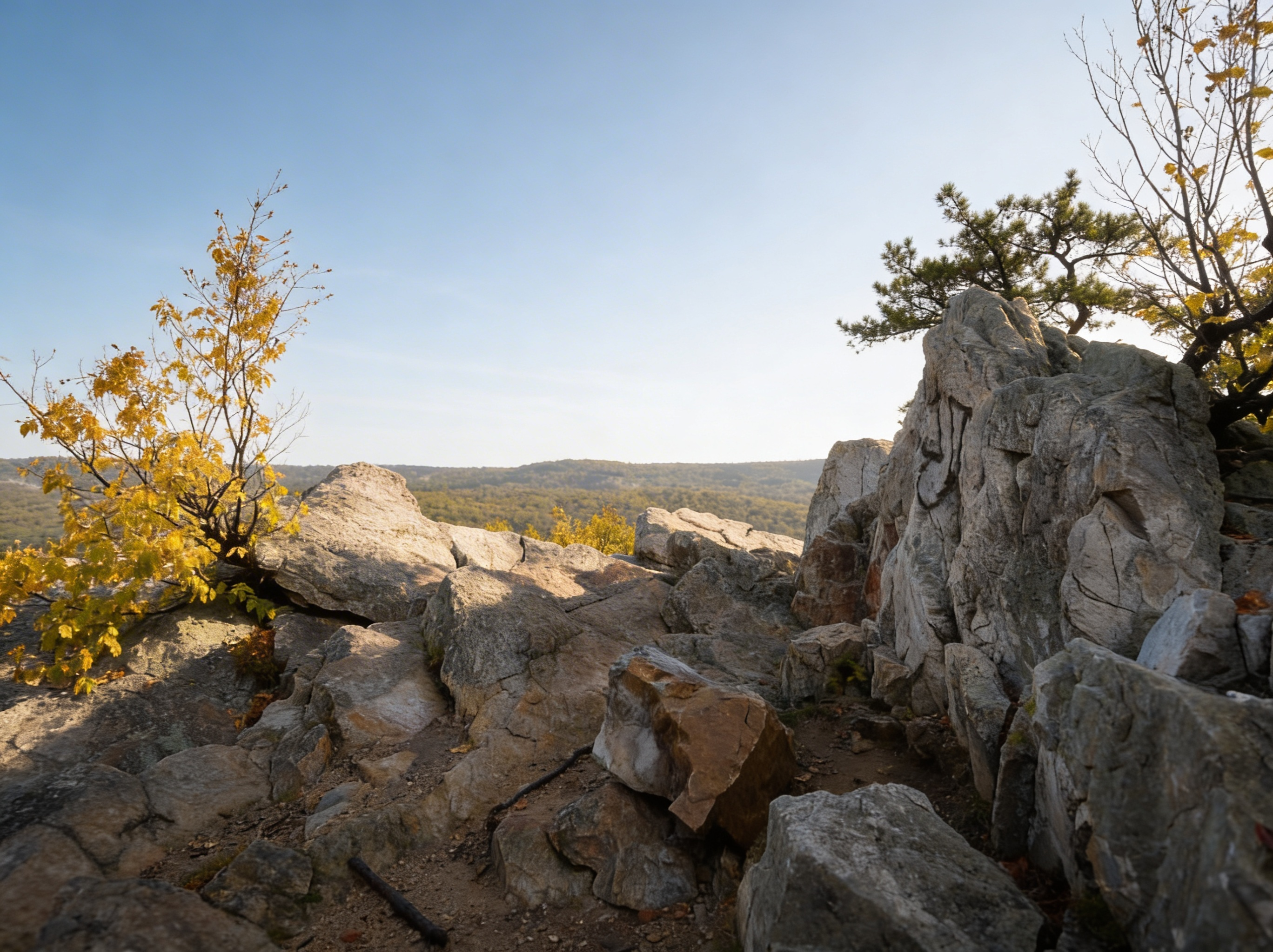
If You Want Views: Baughman Rock & Wolf Rocks
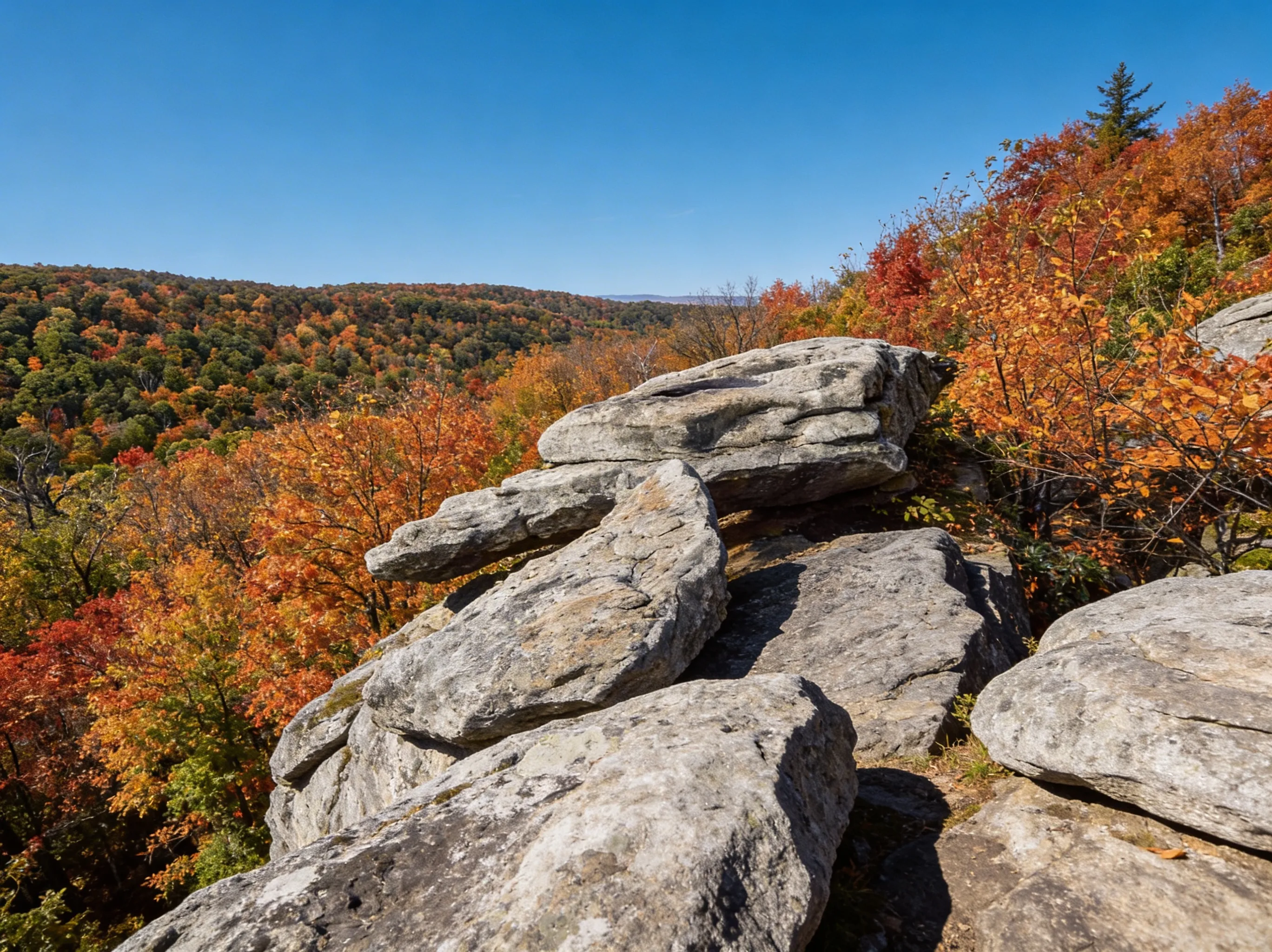
For one of the best views of the Youghiogheny Gorge, head to Baughman Rock. It’s a steep climb if you hike it, but you can drive most of the way to the overlook. Go at sunset. You can also explore nearby Wolf Rocks, known for its sheer sandstone cliffs and panoramic vistas.
If You Want Backpacking: Laurel Highlands Hiking Trail (LHHT)

This is the big one. 70 miles of ridge-walking with 8 shelter areas spaced every 6-12 miles. This is Pennsylvania’s premier long-distance backpacking trail.
- Distance: 70 miles point-to-point (Ohiopyle to Seward)
- Elevation: ~14,000 ft cumulative gain
- Time: 5-7 days for thru-hike
- Difficulty: Strenuous (sustained elevation changes, rocky terrain)
- Trailheads: South: Ohiopyle State Park, North: Seward (near Johnstown)
- Shelters: 8 Adirondack-style shelters with bunks, picnic tables, and privies
- Water: Streams throughout (filter required), some shelters have nearby springs
- Reservations: Required for all shelters. Call 724-455-3744 or visit PA State Parks Reservations. Cost: $5-10 per person per night.
- Best Season: Fall (late September to mid-October for foliage)
Reality Check: The section from Mile 0 (Ohiopyle) to Mile 6 is brutal. You gain over 1,000 feet immediately out of the gorge. Don’t start here if you’re just testing your gear. Consider starting at Mile 6 (Grindle Ridge Shelter) for a gentler introduction.
Pro Tip: The most popular section is Miles 0-30 (Ohiopyle to Laurel Ridge State Park), which can be done in 3-4 days. This section has the best views and most reliable water sources.
If You Want the Highest Point: Mount Davis
Yes, it’s 3,213 feet, but don’t expect a jagged peak. It’s a high plateau covered in forest. You can drive to the top and climb an observation tower to get above the trees.
- Elevation: 3,213 ft (highest point in Pennsylvania)
- Location: Forbes State Forest, near Salisbury
- Access: Drive to the summit via Mount Davis Road
- Tower: 40-foot observation tower for views above the treeline
- Trails: Short nature trails around the summit area
- Best Time: Fall for foliage, winter for snow-covered views
- Pro Tip: It’s geologically significant even if it’s not a dramatic climb. The tower offers 360-degree views on clear days.
If You Want Solitude: Quebec Run Wild Area
If Ohiopyle is a zoo, Quebec Run is a library. It’s 10/10 for solitude with zero amenities. You can camp (dispersed) here, but check DCNR rules first.
If You Want Botany: Ferncliff Peninsula
This 2-mile loop at Ohiopyle is a botanical wonder. Rare plants from Maryland and West Virginia wash down the Yough (since it flows north) and take root here, creating a unique microclimate.
What You Need to Know Before You Go
Snakes Are Real
Copperheads and Timber Rattlesnakes are common on the rocky ridges, especially in Forbes State Forest and along the LHHT. We aren’t trying to scare you, but you need to watch where you put your hands and feet. If you see one, give it space.
The Yough Is Dangerous
The Youghiogheny River is a Class III-IV whitewater river. It is not a lazy river. Swimming is prohibited near the majestic Ohiopyle Falls for a reason.
Ohiopyle Parking Fills Early
On summer weekends, the main parking lots at Ohiopyle are full by 10 AM. Arrive early, or better yet, visit on a weekday or in the fall.
LHHT Requires Reservations
Unlike most Pennsylvania backpacking trails where you can camp anywhere (dispersed camping), the LHHT requires you to stay in designated shelter areas, and you must pay for a reservation. Book early for fall weekends - shelters fill up months in advance for peak foliage season.
Camping & Lodging
LHHT Shelters: 8 Adirondack-style shelters along the trail. Reservations required ($5-10 per person per night). Each shelter has bunks (sleeps 8-12), picnic tables, and privies. Book via PA State Parks Reservations or call 724-455-3744.
Ohiopyle State Park Camping: Kentuck Campground has 226 sites (some with electric hookups). Reservations recommended for summer weekends. Sites are $20-30/night.
Quebec Run Wild Area: Dispersed primitive camping allowed (free, no permit needed for one-night stays). No facilities. Practice Leave No Trace.
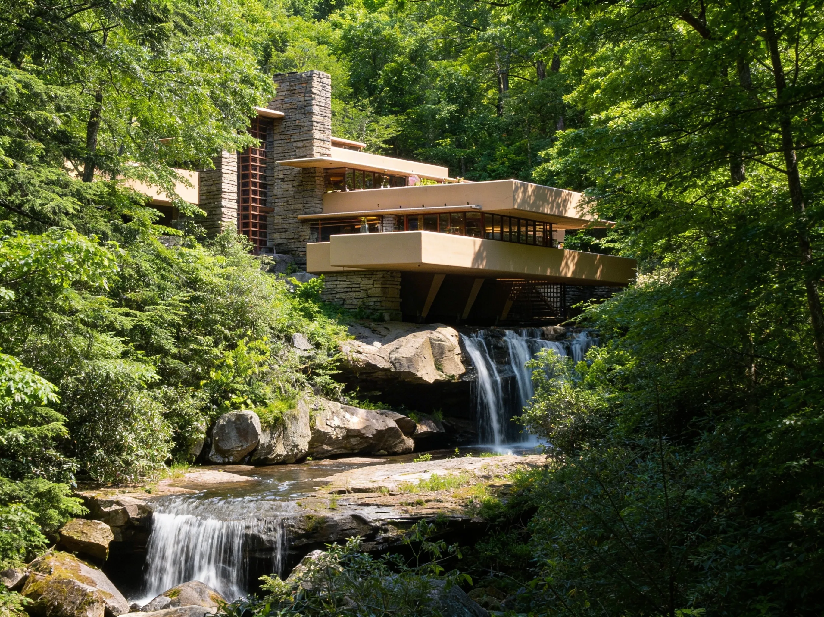
Nearby Towns: Ohiopyle has limited lodging (B&Bs, vacation rentals). For more options, stay in Uniontown (15 miles) or Farmington (10 miles, home to the architectural masterpiece, Fallingwater).
Best Time to Hike
- Fall (Best for LHHT): The peak. The foliage on the LHHT is spectacular, typically late September to mid-October (peak around October 5-15). The summer crowds at Ohiopyle have thinned out. Book LHHT shelters 3-6 months in advance for fall weekends.
- Spring (Best for Waterfalls): The waterfalls are raging with snowmelt and spring rains. Wildflowers bloom on the ridges in late April to May. Be prepared for mud on the LHHT and stream crossings at Ohiopyle.
- Summer (Best for Swimming): Ohiopyle is packed. The natural waterslides at Meadow Run are the main draw, but expect to wait in line. Parking fills by 10 AM on weekends. The LHHT is hot and humid - bring extra water.
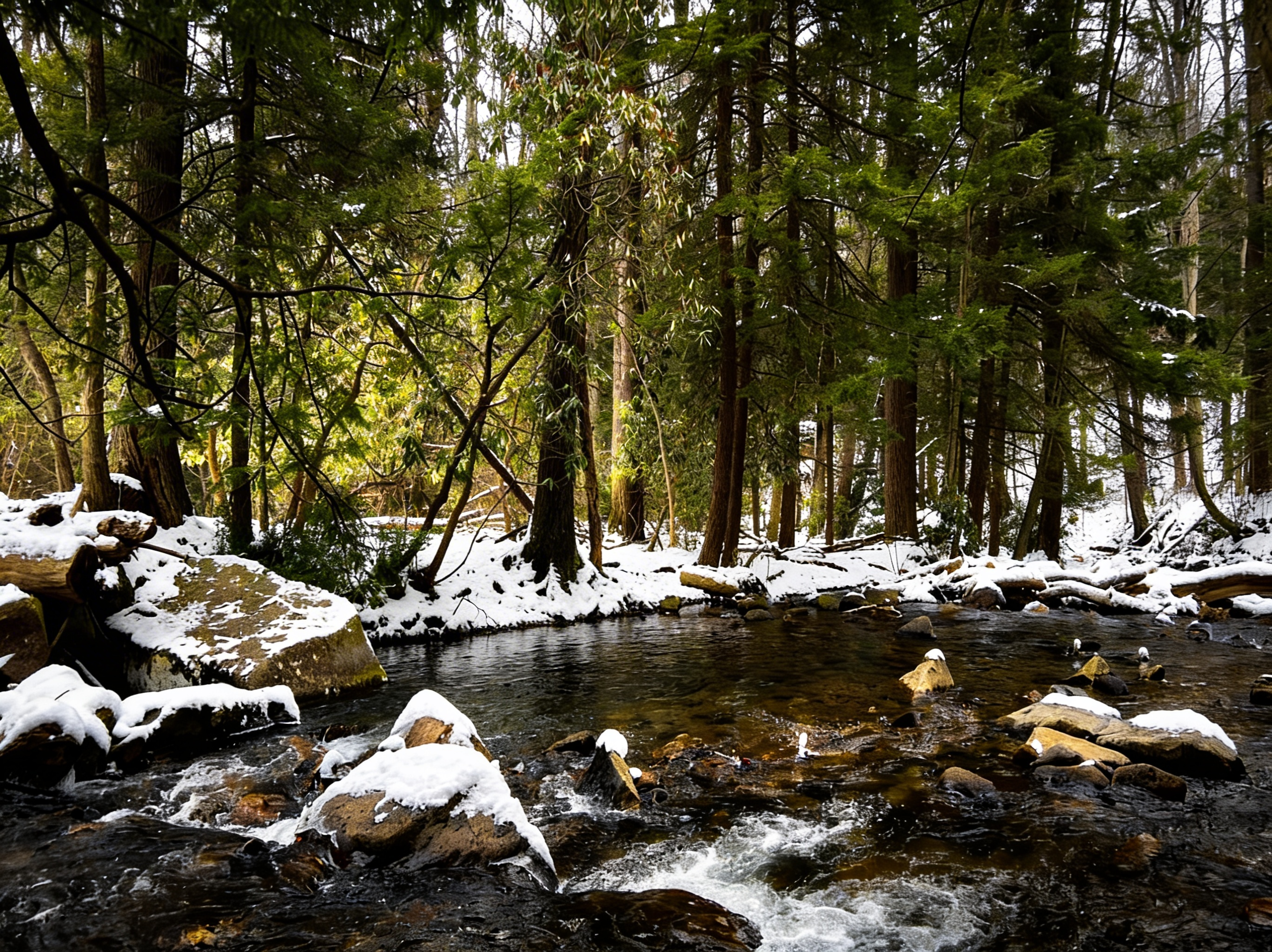
- Winter (Best for Solitude): The LHHT shelters are open year-round, but the trail is challenging in snow and ice. Ohiopyle is quiet and peaceful. Waterfalls may be partially frozen, creating stunning ice formations.
Photography Tips
Best Waterfall Photography: Cucumber Falls and Jonathan Run Falls. Visit in spring for high water flow. Morning light is best (soft, diffused). Bring an ND filter for silky water effects.
Best Overlook Photography: Baughman Rock at sunset. The Youghiogheny Gorge glows in golden hour light. Arrive 30 minutes before sunset.
Fall Foliage: The LHHT ridges peak around October 5-15. Shoot from overlooks in late afternoon for warm light. The section from Ohiopyle to Laurel Ridge State Park has the best color.
Whitewater Action: Ohiopyle Falls. Bring a fast shutter speed (1/1000s+) to freeze the action of kayakers and rafters. Spring and early summer have the highest water levels.
Wildlife: Black bears are common in Forbes State Forest. Early morning or dusk on the LHHT offers the best chances. Bring a telephoto lens (200mm+).
FAQ
Do I need a permit to backpack? On the LHHT, yes. You need a shelter reservation. In State Forests like Quebec Run, you generally don’t need a permit for a one-night stay, but always check current DCNR rules.
Is Ohiopyle dog-friendly? Yes, dogs are allowed on leashes.
Can you swim in the falls? Swimming is prohibited near Ohiopyle Falls. The Meadow Run slides are “swim at your own risk.”
Where is the highest point in PA? Mount Davis (3,213 ft). It’s in Forbes State Forest, and you can drive right to it.
Explore More
- Visit Ohiopyle State Park for official trail maps and current conditions
- Explore Forbes State Forest for more remote trails beyond Mount Davis
- Check out Ricketts Glen State Park for Pennsylvania’s best waterfall hikes
- Compare this to the Poconos for gentler terrain and more waterfalls
- Visit the PA Grand Canyon for another rugged gorge experience
- See the full PA State Parks list for more hiking ideas
Parks in Laurel Highlands Hiking Guide: LHHT, Ohiopyle & Mountain Trails

All Trails in Laurel Highlands Hiking Guide: LHHT, Ohiopyle & Mountain Trails
Cucumber Falls: The Instagram Stop vs. The Actual Hike
0.2 miles or 2.8 miles? Here's how to see the falls, walk behind them, and avoid the parking chaos.
Ferncliff Peninsula: A 2-Mile Time Machine
Touch 300-million-year-old fossils on this easy 2-mile loop. A National Natural Landmark in Ohiopyle.